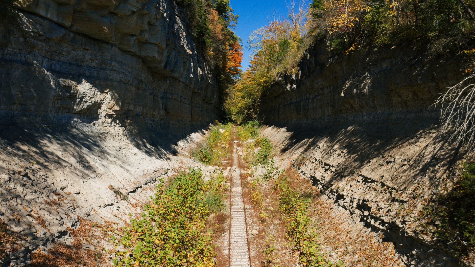

Pittsburgh's urban hiking scene rewards effort in a way few mid-size American cities can match. The same topography that makes driving here occasionally maddening also carves out ravines, ridge lines, and stream corridors that turn a 3-mile loop into something that feels genuinely remote. You don't have to leave the city. Several of Pittsburgh's best hiking loops are fully accessible by bus, start near a coffee shop, and end at a bar.
Why Pittsburgh's terrain makes urban hiking unusual
Most cities flatten out toward their centers. Pittsburgh does the opposite. The three river valleys force neighborhoods onto ridges, and those ridges drop into hollows that were too steep to develop. That geography left behind a loose network of wooded corridors inside city limits, connected by Pittsburgh's public stairways and old maintenance paths that appear on no official trail map.
The result is a city where a determined hiker can string together 6 to 8 miles of mostly off-road walking without crossing the same intersection twice. Elevation change of 400 feet within a single loop is common. You'll hear creek water, not traffic, for stretches long enough to actually notice.
Frick Park: the go-to for serious mileage
Frick Park covers 644 acres in the city's East End, and its trail network rewards hikers who go beyond the main entry at Forbes Avenue. The best full loop combines the Tranquil Trail along Nine Mile Run, the Riverview Loop spur up to the ridge above Squirrel Hill, and the bridle trail returning through the Beechwood ravine. Start at the Fern Hollow Nature Center entrance on Beechwood Boulevard. The complete circuit runs about 5.5 miles with roughly 380 feet of climbing. Dogs are welcome off-leash in designated areas. Wear waterproof shoes: the Nine Mile Run crossing involves stepping stones that get slick after rain.
Panther Hollow to Schenley: Oakland's best-kept loop
The Panther Hollow corridor sits at the edge of Oakland, cuts through Schenley Park, and connects to a ridge trail that most residents never find. Enter from Panther Hollow Road, follow the creek south for about 1.2 miles through heavy tree cover, then climb via the Greenfield footbridge to the upper meadow. The return leg follows Schenley's formal carriage paths past Flagstaff Hill before dropping back toward the Phipps Conservatory entrance. Total distance: 4.2 miles, 320 feet of elevation gain. You pass through what feels like three different ecosystems in under an hour.
Riverview Park: North Side ridge walking
Riverview Park sits above Brighton Heights on the North Side and offers Pittsburgh's cleanest unobstructed views toward the Ohio River valley. It's less visited than Frick or Schenley, which keeps the trails quieter on weekends. The Ridge Loop starts at the Perrysville Avenue entrance, climbs through second-growth forest to the observatory clearing, and returns via a lower creek path that follows Girty's Run for about half a mile. Distance: 3.8 miles. The climb to the ridge takes about 20 minutes and earns you a view most Pittsburghers have never seen. The park has no food or water infrastructure, so bring your own.
Hollow network loops: the off-map option
Pittsburgh's hollows are the hidden connective tissue between its better-known parks. The city's ravine system holds informal trails that don't appear on Google Maps and don't have official names. Several of the most reliable ones run through Chartiers Creek tributaries in the South Hills, through the Hays Woods corridor above the Monongahela, and through the unmarked hollows between Greenfield and Hazelwood. These routes require a little research before your first visit: AllTrails user reports, Pittsburgh trail-running groups on Reddit, and the Allegheny Land Trust's trail finder all have current information.
Hays Woods deserves particular attention. The site covers 137 acres on the river's south bank and hosts one of the city's largest urban grassland areas on its upper plateau. The access trail from Hays Avenue gains 250 feet in about 0.6 miles, then opens into open meadow with views across the Mon. No amenities, no crowds, no dogs off-leash. It's the closest Pittsburgh gets to actual wilderness inside city limits.
What to know before you go
Pittsburgh's trails don't come with the same infrastructure as state park systems. A few things worth knowing before you pick a loop:
- Mud season is real. From December through March, clay soils on steep slopes turn treacherous. Microspikes in winter, waterproof boots in shoulder seasons.
- Cell service drops. In deep ravines like Panther Hollow and Fern Hollow, signal cuts out. Download your route offline before you leave.
- Deer ticks are active. Treat gear with permethrin and do a thorough tick check after every trail visit, especially April through October.
Pittsburgh Regional Transit's Route 61C and the 71 corridor put multiple trailheads within a short walk of bus stops, which makes car-free hiking genuinely practical for most of these loops. The city's bike trail network also connects several park entrances, so a hybrid hike-and-ride day is easy to build.
Where to finish
Most of Pittsburgh's best loops end within a mile of a bar, a coffee shop, or a food truck. That's not an accident. The parks sit in the middle of the city's most active residential neighborhoods, and those neighborhoods are dense with places to eat. After a Frick Park loop, the Squirrel Hill corridor on Murray Avenue has more post-hike options per block than almost anywhere in the city. After Riverview, the North Side's Federal Street is a short downhill walk from the park exit. Plan the end of the hike as carefully as the route itself.