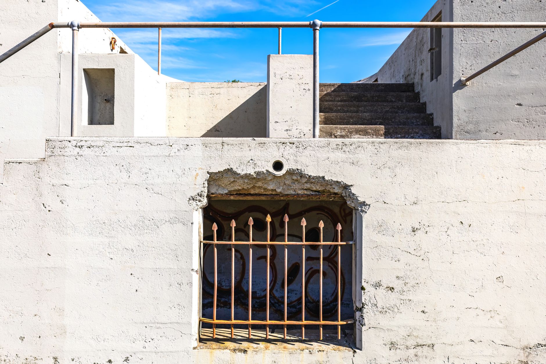

Pittsburgh has over 700 public stairways. That number surprises most residents and almost every visitor, but it makes complete sense once you understand the terrain. The city's neighborhoods cling to hillsides that road engineers found impossible to connect by conventional means, so the solution, starting in the 19th century, was stone and concrete steps cut directly into the slopes. Those stairways are still there, still maintained by the city, and still used daily by people who live along them. They are one of Pittsburgh's genuinely distinctive features, and they almost never get written about.
Why Pittsburgh has so many stairways
The short answer is topography. Pittsburgh sits in a region carved by three rivers and dozens of tributary valleys, which means the usable flat land runs out fast. Early residents settled on the hilltops as well as the valleys, and getting between the two required either a long, switchbacking road or a direct vertical shortcut. Steps were cheaper and faster to build. The city formalized the system over decades, and by the early 20th century Pittsburgh's stairways were embedded infrastructure, as official as any street.
Many of the steps replaced routes that working-class residents had worn into the hillsides through sheer repetition. Coal miners walking to work, mill workers cutting between neighborhoods, schoolchildren taking the fastest path to class: the steps codified those paths in stone. Some stairways still connect neighborhoods that have no easy road alternative. In neighborhoods like Allentown, St. Clair, and Knoxville, removing the steps would genuinely strand residents.
Which stairways are worth seeking out
Not every stairway is a destination. Some are functional connectors that run alongside a chain-link fence between two undistinguished streets. But a dozen or so are worth going out of your way for, either because of the view at the top, the architecture of the steps themselves, or the neighborhoods they pass through.
The Holt Street steps in Fineview are among the most visited. At their peak they deliver a panoramic view of Downtown Pittsburgh and the rivers below, rivaling anything you'd see from Mount Washington. The climb is 310 steps, not all of it easy, but the payoff at the top is real. Closer to the South Side, the Sycamore Street steps in Grandview have become popular with fitness runners looking for a natural stairmill without a gym membership. The steep incline trails that crisscross Pittsburgh's hillside neighborhoods often intersect with or begin at public stairways, making them natural starting points for longer explorations on foot.
In Polish Hill, the Brereton Street steps are shorter but surrounded by the kind of dense residential architecture that makes the neighborhood feel like it belongs in a different decade entirely. Row houses, corner churches, and small front gardens crowd the edges of the steps on both sides. It's the kind of detail that doesn't show up on any tourism list.
The stairways as a fitness resource
Pittsburgh's running community figured this out years ago. The steps offer a free, weather-resistant (if you're willing to get wet), always-available workout that challenges the legs in ways a flat road never does. Group running clubs have built entire route libraries around stairway chains, linking 5 or more sets of steps into a single loop that can cover 400 to 600 feet of elevation gain inside city limits.
For anyone new to Pittsburgh who wants to understand the city physically, a stairway walk across two or three neighborhoods delivers more geographic orientation than any map. You learn where the ridges are, which valleys carry the creeks, and why certain streets dead-end where they do. The Pittsburgh parks guide covers the green spaces that anchor the city's open-air recreation, but the stairways connect those spaces in ways that parks maps don't show.
What the stairways tell you about neighborhood change
The condition of a stairway is a surprisingly reliable indicator of neighborhood investment. Steps that receive regular maintenance, fresh handrails, and cleared vegetation tend to sit in neighborhoods with active community organizations and engaged residents. Steps that are crumbling, overgrown, or missing sections often mark blocks where city attention has been thin for years.
Pittsburgh has made stairway restoration part of several neighborhood revitalization efforts. The Lawrenceville Corporation and the Hazelwood Initiative have both used stairway improvements as visible anchors for broader block-level investment. A new set of handrails and a cleared right-of-way cost relatively little. They signal that the city is paying attention. That signal matters to residents.
The neighborhoods currently on the rise in Pittsburgh tend to share a common thread: renewed attention to the public infrastructure that residents actually use daily. Stairways fit that pattern exactly. They're not glamorous, but fixing them has an outsized effect on how livable a block feels.
How to start exploring
The City of Pittsburgh maintains an official stairway inventory through the Department of Mobility and Infrastructure, which lists every public stairway by neighborhood and includes basic location data. It's a functional starting point, not a curated guide, but it tells you where to look.
For something more practical, Bob Regan's book "The Steps of Pittsburgh" remains the most thorough guide to the system. Regan documented over 700 sets of steps with photographs and neighborhood context, and it's still in print. Used copies turn up regularly at Pittsburgh's independent bookshops and at Caliban Book Shop on Ellsworth in Shadyside.
The most useful approach for a first-time stairway explorer is to pick a hillside neighborhood, open a satellite map, and look for the thin gray lines that cut straight up slopes where roads curve. Those lines are almost always steps. Start at the bottom, climb to the ridge, and look back at the city on the way up. Pittsburgh rewards that kind of attention.