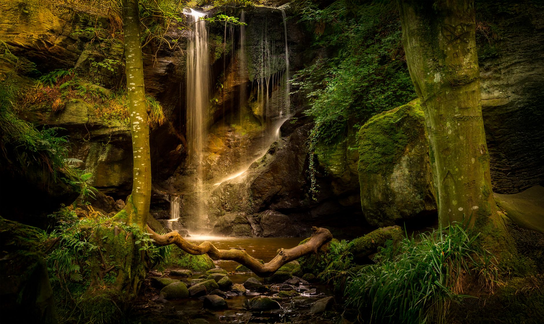

Pittsburgh is not a city people associate with waterfalls. It's rivers, bridges, and steep hillside streets. But the same glacial topography that carved the city's famous ravines also created the conditions for a quiet string of cascades, most of them tucked into wooded hollows that most residents never enter. You don't need to leave Allegheny County to find a genuine waterfall. You just need to know which hollow to walk into.
Why Pittsburgh has waterfalls at all
The explanation is geology. Pittsburgh sits on a dissected plateau, and the streams that drain its ridges drop sharply as they cut down toward the rivers. Wherever a stream crosses a band of more resistant rock, the soft layer beneath erodes faster, undercutting the ledge until water falls rather than flows. It's the same process behind Niagara, only compressed into a ten-foot drop instead of 167 feet.
Most of Pittsburgh's cascades are seasonal. They peak after heavy rain or spring snowmelt and slow to a trickle by August. A handful run year-round because they're fed by springs higher on the ridge. Timing matters. Visit in March or after a good rain and you'll find something genuinely worth the walk. Visit in late July and you might find a muddy ledge.
Frick Park's waterfall ravine
The best-kept secret in Pittsburgh's East End sits inside Frick Park, where Nine Mile Run cuts through the park's lower section before emptying into the Monongahela. Follow the Nine Mile Run trail from the Beechwood Boulevard entrance downstream and you'll cross a series of small drops and cascades, none taller than eight feet, but stacked close enough that the effect is cumulative. The most photogenic section sits about a half-mile in, where the stream bends sharply and a sandstone shelf creates a curtain-style fall about four feet high.
Frick Park covers 644 acres, and most visitors stick to the upper meadows and bridle paths. The ravine section along Nine Mile Run is almost always quiet, even on weekends. Wear waterproof shoes. The trail crosses the stream three times on stepping stones that are slippery in wet conditions.
Panther Hollow Run, Schenley Park
Panther Hollow is the other side of the park equation. Panther Hollow's trail system runs through a creek corridor that most Oakland residents treat as a shortcut rather than a destination. That's a mistake. The upper section of Panther Hollow Run drops over a layered shale formation just below the Bartlett Street bridge, creating a two-tier cascade that runs strong through April and May.
The access point is easy to miss. Walk down Panther Hollow Road from the parking area near Panther Hollow Lake, then take the unmarked footpath that drops left toward the stream before you reach the bridge. The falls are about 200 feet in. Total round trip from the parking area is under a mile.
Ravine Hollow and the Chartiers Creek tributaries
Outside the main parks, the most productive waterfall hunting happens in Pittsburgh's smaller hollows, specifically those draining into Chartiers Creek in the city's western neighborhoods. These streams are narrower and more temperamental than the park creeks, but after a rain they punch hard. The hollow behind Crafton Heights drops over a concrete and stone ledge (a remnant of an old mill race) that produces a surprisingly loud falls when the creek is running full.
This is the terrain covered by Pittsburgh's ravine trail network, a shadow system of informal paths that runs through hollows most residents don't know exist. These aren't managed trails. Go with someone who's walked them before, or go slowly and turn back if the path becomes unclear.
What to bring and when to go
A few practical points. Waterproof trail shoes beat hiking boots for this kind of walking because you'll likely step in the stream at least once. Trekking poles help on the muddy sections. Bring a water bottle, not because these hikes are long (most are under two miles round-trip) but because the parking areas are sometimes far from the trailheads.
The best window is March through May. Second best is October through November, after the leaves drop and the fall rains arrive. Summer waterfalls in Pittsburgh are mostly disappointing. Winter can be spectacular if you catch a freeze, but the ravine trails become genuinely hazardous on ice.
Cell service drops out in several of the deeper hollows. Download an offline map before you go, specifically the AllTrails route for Frick Park or the Schenley trail map from the Pittsburgh Parks Conservancy. The Pittsburgh Parks Conservancy also runs guided walks through several of these corridors in spring, which is the most reliable way to find the less-marked spots.
A note on the lesser-known sites
There are at least three other spots in Allegheny County that local hikers treat as genuine finds: one in the lower Saw Mill Run corridor, one in the Hollow near Duck Hollow trailhead, and one accessible only by paddling into a creek mouth from the Monongahela. None of these are marked on any official map. They circulate in Pittsburgh trail communities by word of mouth, which is probably the right way for them to stay.
Pittsburgh rewards the people who walk into its hollows. The waterfalls are real, the solitude is real, and the whole experience takes less than a Sunday morning.