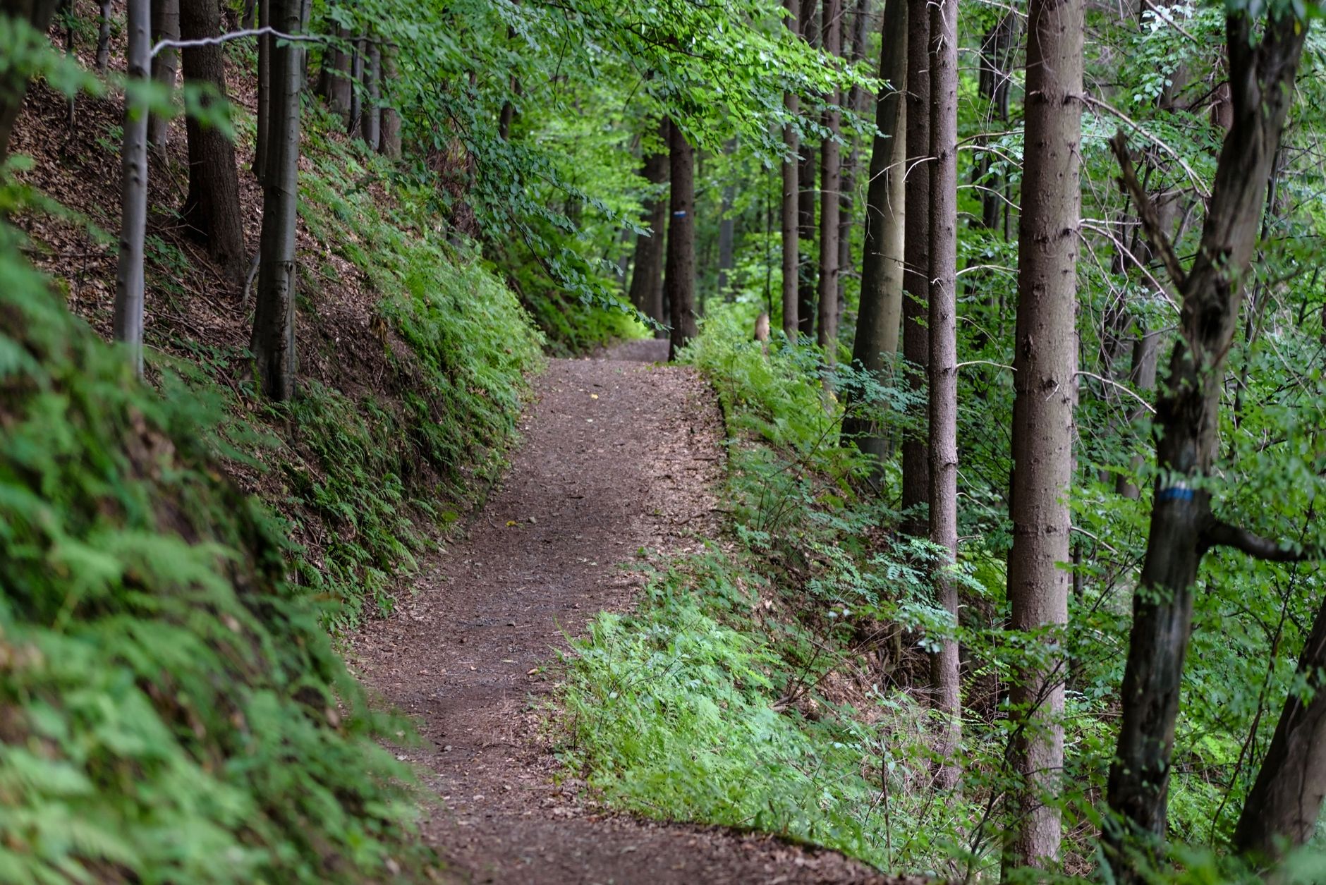

Pittsburgh's reputation for hills is well-earned. But the geography that gets less attention is what sits between the hills: the hollows. Carved by glacial meltwater over thousands of years, these ravines slice through nearly every corner of the city, and inside many of them run unofficial, lightly maintained trails that form a shadow network beneath the official park system. This isn't Frick Park's curated signage. It's something older and stranger, and most residents live within blocks of a hollow they've never entered.
What a hollow actually is
Pittsburgh has more than two dozen named hollows within city limits. Panther Hollow, Run Hollow, Squaw Run Hollow, Junction Hollow, Hays Woods Hollow. The name refers to a glacially cut valley, typically narrow and steep-sided, with a stream corridor at its base. Most of them were never built over because the terrain made construction impractical. That accident of geology is why they still exist.
The streams inside them are often buried or heavily channelized. Nine Mile Run is the most documented example: a stream that was buried under slag fill, then partially restored over decades of work. But Nine Mile Run is the exception. Most of Pittsburgh's hollow streams still run underground through pipes, emerging only in fragments.
What survives above ground is the landform itself, and in most hollows, a dirt path worn by decades of foot traffic.
Why the trails don't show up on maps
The city of Pittsburgh maintains official trails in Schenley Park, Frick Park, Riverview Park, and a handful of other designated open spaces. The hollow trails are different. Many sit on land technically owned by the city but not managed as parkland. Others cross private parcels. A few run through right-of-ways that predate modern zoning.
OpenStreetMap captures some of them. Google Maps misses most. The Pittsburgh Department of Parks and Recreation doesn't maintain trail markers in the smaller hollows, and liability concerns mean the city doesn't actively publicize the routes either. The result is a network that self-perpetuates through word of mouth, with regular users keeping paths clear by the simple act of walking them.
Junction Hollow, which runs from Panther Hollow Lake through Oakland down toward the Hot Metal Bridge, is the closest thing to a mapped connector hollow in the city. Panther Hollow's trail system connects into this corridor and represents one of Pittsburgh's most accessible entry points to hollow hiking. But even Junction Hollow isn't uniformly signed or officially maintained along its full length.
The ecological argument for paying attention
Pittsburgh's hollows aren't just recreational curiosities. They function as urban wildlife corridors. Eastern box turtles, great blue herons, red foxes, and coyotes move through hollow systems that would otherwise be completely bisected by streets and development. The tree canopy inside the hollows, typically older and denser than canopy on street level, provides habitat that flat city parks can't replicate.
The stormwater function is equally significant. Pittsburgh's combined sewer system handles both rainwater runoff and wastewater, and during heavy rain the two overflow together into the rivers. Hollow corridors absorb and slow runoff at the source, reducing the volume hitting the combined system. City environmental planners have pointed to hollow preservation as one component of a broader green infrastructure response to Pittsburgh's sewer overflow problem. The argument is simple: a forested ravine doing its job quietly in Greenfield or Hazelwood is worth more than a concrete detention basin.
Specific hollows worth knowing
Squaw Run Hollow in Fox Chapel, just outside city limits, draws trail runners who know about it. Within the city, Hays Woods on the South Side slopes holds a hollow trail system that connects to the riverfront via a steep descent. The views over the Monongahela from the ridge above it are legitimately disorienting, the kind of scene that makes longtime Pittsburghers feel like they've stumbled into a different city.
Run Hollow, tucked between Swisshelm Park and Regent Square, is smaller but denser. The trail along its base follows a buried stream channel for about half a mile before the hollow opens into Swisshelm Park's main meadow. It's walkable in under 20 minutes and passable for dogs, though the creek crossings after rain require attention.
Scotch Bottom, along the Allegheny in Sharpsburg, is technically outside Pittsburgh proper but part of the same glacial drainage system. Its hollow connects to Pittsburgh's river stair network in a few places, offering one of the more unusual routes from hilltop to waterfront in the region.
How to explore them responsibly
A few things matter before you head in. First, most hollow trails involve some scrambling. Footing is loose on the steeper sections, and exposed roots are the default surface. Trail runners use these routes regularly, but people unfamiliar with uneven terrain should go slow. Second, the unmarked nature of the trails means orientation can slip quickly. Downloading an offline map via AllTrails or CalTopo before entering is worth the five minutes it takes.
Ticks are present spring through fall and more concentrated in hollow corridors than on open hilltop paths. The dense canopy and leaf litter are ideal habitat. Check carefully after any hollow walk.
Leave the hollow as you found it. These aren't managed parks and they don't have restoration budgets. Scrambling off-trail, especially on the steep slopes, accelerates erosion that no city crew will fix. Stay on the worn path, pack out everything you carry in, and the trail will still be there next season.
The future of Pittsburgh's hollow network
A handful of advocacy groups have pushed for formal hollow trail recognition and maintenance, arguing that the city's existing open space assets are underutilized and under-resourced. Pittsburgh's 2030 Parks and Open Space Plan references hollow corridors as priority conservation targets, though the funding picture for actual work is unresolved.
What nobody disagrees on is that the hollows represent a form of urban green space Pittsburgh didn't design and can't easily replace. They exist because the glaciers left them, because the city couldn't build on them, and because enough people have kept walking them to maintain the paths. That's a precarious foundation for a public asset. But it's what Pittsburgh has, and for now, it's more than enough reason to go find one.