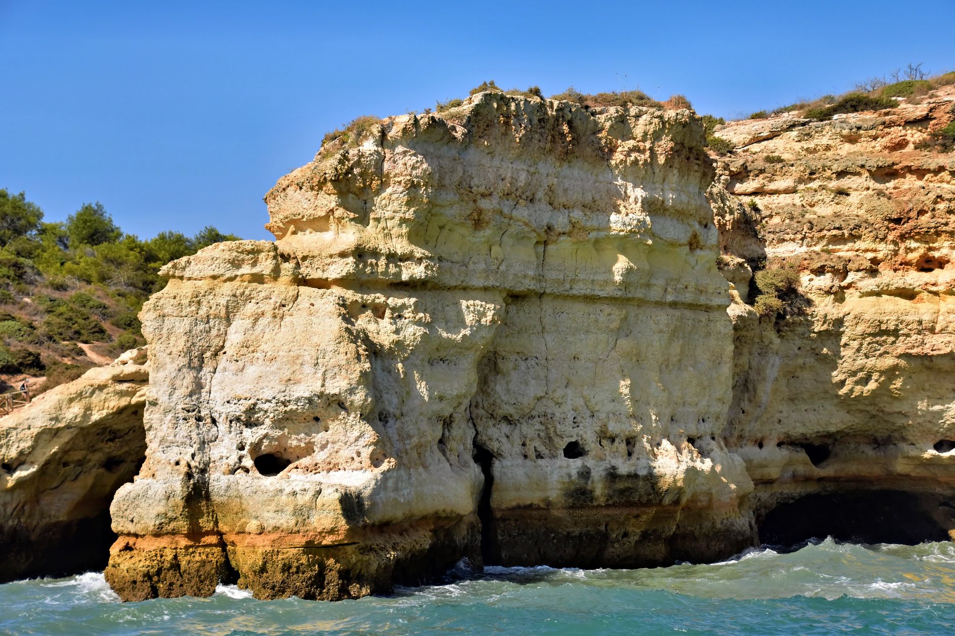

Pittsburgh's limestone bluffs don't announce themselves. You notice them first as the steep grey faces rising above the Ohio, Allegheny, and Monongahela, striped in bands of pale stone, rust-colored shale, and dark seams of coal. Most people see a hillside. What they're actually looking at is a cross-section of roughly 300 million years of sedimentary history, compressed into walls you can touch from a trail.
The city's terrain isn't incidental to Pittsburgh's identity. It created the city's shape, its neighborhoods, its staircases, its bridges. But the rock itself, the Pennsylvanian-period limestone and shale that form the bluffs, gets almost none of the attention those features do. That's worth correcting.
What the bluffs are made of
The exposed faces along Pittsburgh's river valleys belong to a formation geologists call the Allegheny Group, a sequence of sedimentary rock laid down during the Pennsylvanian period (roughly 307 to 323 million years ago) when this region sat near the equator in a vast tropical swamp. The rock you see in layers above the Monongahela at places like Grandview Avenue, or along the Allegheny River Trail north of the city, alternates between limestone, shale, sandstone, and thin coal seams.
Limestone forms when calcium carbonate accumulates in shallow marine or brackish environments. The Pittsburgh region cycled between swamp and shallow sea repeatedly during this period, which is why the layers alternate so distinctly rather than presenting one uniform rock type. Each band marks a different environmental episode.
The coal seams are the ones Pittsburgh is historically famous for. The Pittsburgh Coal Seam, the most economically significant coal deposit in North American history, runs at a consistent depth across much of Allegheny County and outcrops in the river bluffs where erosion has cut through the overlying rock. It's still visible in places if you know what a dark, brittle horizontal band about 6 to 8 feet thick looks like.
How the rivers carved the terrain
The Allegheny and Monongahela are geologically young rivers by the standards of the rock they flow through. Both rivers established their current courses after the last glacial advance of the Pleistocene, roughly 20,000 years ago, when glacial meltwater redirected drainage patterns across western Pennsylvania. Before that advance, the region's drainage flowed north. The glaciers blocked that path and the rivers carved south and west instead, cutting the valleys that now define Pittsburgh's geography.
That cutting is what exposed the bluffs. The rivers didn't create the rock; they removed the rock that was covering it. Where the rivers have been most active, the bluffs are steepest and the geological record is most readable. The South Side Slopes and Mount Washington offer some of the most dramatic examples, with near-vertical faces that show the full sequence from river level to ridge top.
It's also why Pittsburgh has so many public stairways. Pittsburgh's public stairways exist because the bluffs are too steep for conventional roads, and those same bluffs exist because the rivers cut aggressively through soft sedimentary rock rather than harder igneous formations. The stairs and the geology are inseparable.
Where to read the rock
You don't need a geology degree to find good outcrops. Three locations give you access to the most legible sections of Pittsburgh's bluff geology without technical hiking.
The Monongahela River Trail between Homestead and Hazelwood runs directly beneath exposed bluffs for stretches where the water has undercut the slope. The Pittsburgh Coal Seam outcrops here at several points, identifiable by its dark color and the slight overhang it often forms as softer shale weathers away above and below it.
Frick Park's ravine trails expose shale and sandstone layers in the stream cuts along Nine Mile Run. Nine Mile Run's stream restoration work has actually improved visibility in some sections, stabilizing banks in ways that prevent slumping and let the layers read cleanly. The rock here is less dramatic than the river bluffs but easier to examine up close.
The bluffs above the Allegheny River near Millvale and Etna show the sequence most clearly from across the water. Stand on the North Shore trail and look northeast. The horizontal banding is distinct enough to trace individual layers across hundreds of feet of exposed face. The pale bands are limestone and sandstone; the recessed, darker bands are shale, which weathers faster and retreats as the harder rock holds firm.
Why the rock matters for how the city was built
Pittsburgh's foundation geology directly shaped which neighborhoods could build how. Limestone and sandstone carry compressive loads well, which is why dense construction climbed the ridges. Shale does not. Several of Pittsburgh's most dramatic slope failures over the past century, including landslides in areas of the South Side Slopes and sections of Polish Hill, occurred in zones where shale sat just below the surface and absorbed water until it lost cohesion.
The coal seam's location also determined where mining was economically viable. Drift mines, horizontal tunnels driven directly into bluff faces where the seam was exposed, honeycombed the hillsides above the South Side, Brookline, and Mount Oliver before the twentieth century. Some of those tunnels still exist. Ground settlement in older Pittsburgh neighborhoods occasionally traces back to unmapped drift mine collapses, a problem the city's geotechnical engineers still encounter in renovation projects.
Limestone itself was quarried from the bluffs for construction material through the mid-1800s. The stone in some of Pittsburgh's oldest buildings came directly from the riverbanks. That quarrying is part of why certain bluff sections have irregular, hacked profiles rather than smooth natural faces.
Reading the city differently
Once you start seeing Pittsburgh through its geology, it doesn't stop. The bridges exist because the valleys are too wide and too deep for any other crossing. The neighborhoods pile onto ridge tops because the flood-prone flats were historically dangerous. The 446 bridges that make Pittsburgh distinctive worldwide are a direct consequence of a river system cutting through soft Pennsylvanian sediment at angles that require constant crossing.
The bluffs aren't scenery. They're a record. Slow down below the grey faces on the Monongahela side of the city and you're looking at 300 million years compressed into a wall you can reach out and touch. Pittsburgh's geology built Pittsburgh more literally than any architect or engineer ever did.
Carnegie Mellon's Department of Civil and Environmental Engineering and the Pennsylvania Bureau of Geological Survey maintain resources on regional stratigraphy and slope stability for anyone who wants to go deeper into the record beneath Pittsburgh's streets.