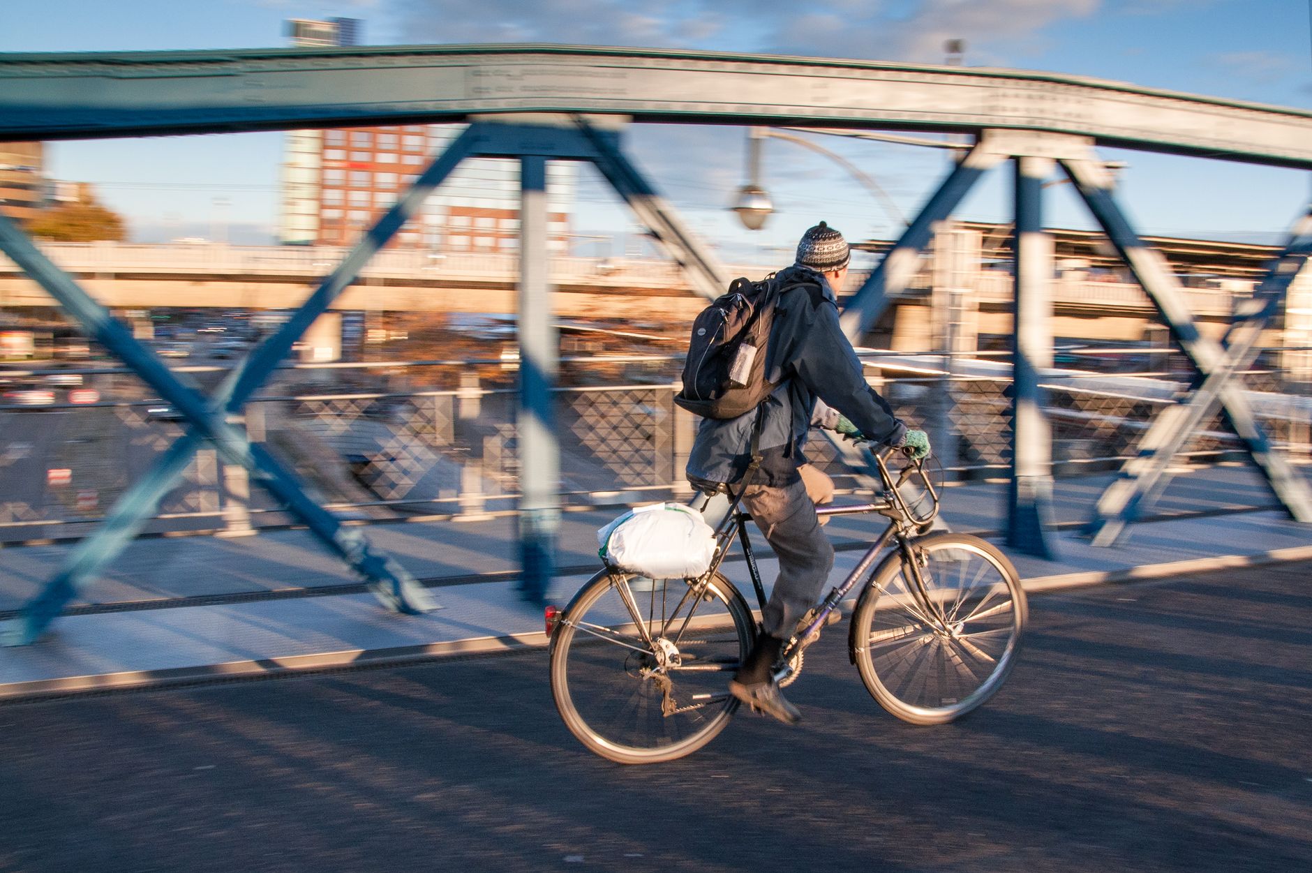

Car-free commuting in Pittsburgh is one of those topics that gets either oversold or dismissed, depending on who you ask. The city's three rivers, steep ravines, and patchwork transit coverage mean that the answer to "can I ditch the car?" is almost always: it depends on where you live and where you work. But for a growing number of residents, the answer is yes, and the calculation gets better every year.
The transit backbone: bus and light rail
Pittsburgh Regional Transit (PRT), operated by the Port Authority of Allegheny County, runs the network that most car-free Pittsburghers rely on. The system has real strengths in certain corridors and real gaps in others. Oakland is the easiest destination in the city to reach by bus from almost anywhere, which matters because it's also where most of the major employers, universities, and hospitals cluster.
The East Busway is the workhorse of the system. Buses running from Swissvale, Edgewood, and East Pittsburgh reach Downtown in under 20 minutes during peak hours, a faster trip than most drivers manage. The Martin Luther King Jr. East Busway is one of the most productive bus rapid transit corridors in North America by ridership per mile. If you live anywhere between Wilkinsburg and Edgewood, you're sitting on top of one of Pittsburgh's best transit assets.
The light rail, called the T, connects Downtown to the South Hills via the Mount Washington tunnels and a surface line running through Dormont, Mount Lebanon, and Bethel Park. It's reliable and frequent. For commuters heading into the Golden Triangle from the South Hills, it removes the need for a car almost entirely. The North Side, by contrast, has no rail connection, and bus frequency drops off sharply beyond Allegheny Center.
Cycling: better than the hills suggest
Most newcomers assume Pittsburgh's topography makes cycling impractical. That's partly true and partly a matter of route selection. The Three Rivers Heritage Trail runs along both banks of the Allegheny and Monongahela, giving cyclists a flat off-road option for significant stretches of their commute. A rider coming from Millvale can reach Downtown along the Allegheny riverfront trail in under 15 minutes without climbing a single hill.
The gaps are real. Getting from Squirrel Hill to Oakland by bike means either climbing Forbes or Murray Avenue, or threading through Schenley Park on trails that aren't ideal for road bikes in wet weather. Getting from Polish Hill to Downtown involves either a steep descent on Brereton Street or a longer flat route through the Strip. Most experienced cycling commuters in Pittsburgh spend the first few weeks finding their route, then rarely deviate from it.
Pittsburgh has invested in protected bike infrastructure along Penn Avenue through Garfield and into Bloomfield, and along portions of Fifth Avenue in Oakland. Neither network is complete, but both are usable. Pittsburgh's bike trail network has grown steadily and now connects many of the city's most populated corridors to its flattest terrain.
Walking and the stair streets
Pittsburgh has more than 700 public stairways, which sounds like a liability for pedestrians but is often an asset. The stair streets cut travel times significantly in hilly neighborhoods where a road route would add 10 or 15 minutes to a walk. Residents of Troy Hill can descend to the North Side's commercial strip in 4 minutes by stairs. Residents of Mount Washington can walk to the Duquesne Incline in 5 minutes and be at Station Square in under 10.
Walkability concentrates heavily in a handful of neighborhoods: Shadyside, Bloomfield, Lawrenceville, South Side Flats, and parts of Oakland score well by any standard. Strip District workers within walking distance of their offices almost never need a car for daily errands. The challenge is that Pittsburgh's walkable zones don't connect seamlessly. A half-mile gap between neighborhoods can involve a highway crossing, a river, or a 200-foot elevation change.
Where car-free living works best
Squirrel Hill, Shadyside, and Bloomfield give residents the most car-free flexibility. Each has dense commercial corridors, multiple bus lines, and walkable access to parks, grocery stores, and restaurants. A resident of Squirrel Hill can reach Oakland by bus on the 61C in under 12 minutes, reach Downtown in under 30, and walk to 2 full-service grocery stores without a car.
Lawrenceville is close behind. Butler Street has filled out enough that daily errands don't require leaving the neighborhood. Bus service on the 54C connects residents to Downtown in about 20 minutes. The bike infrastructure along Penn Avenue makes cycling to the Strip and Oakland a realistic daily option for fit riders.
The South Hills suburbs, including Mount Lebanon and Dormont, are a useful edge case. They're suburbs, but the T gives them a transit link to Downtown that most city neighborhoods can't match. Families who prioritize school district quality sometimes find that Mount Lebanon offers better transit access to Downtown than many Pittsburgh neighborhoods do.
The honest tradeoffs
Car-free life in Pittsburgh works for a specific commuter: someone whose workplace is in Oakland, Downtown, or the Strip District, who lives in one of the walkable neighborhoods above, and who doesn't need to move children between multiple schools and activities on a tight schedule. Outside that profile, going fully car-free involves real friction.
Late-night transit is thin. After about 11 p.m., bus frequency drops to 30-minute headways on most routes, and the East Busway runs on a reduced schedule. Anyone who works irregular hours, or who wants to leave a South Side bar after midnight, will find the options limited. The city's transit authority has acknowledged the gap, and extended service hours have been floated as a priority, but frequent late-night service remains uneven.
One practical middle path that many Pittsburgh residents choose: rent a car-free apartment, use transit and cycling for 90% of trips, and rely on Zipcar or rideshare for the edge cases. Zipcar operates in Pittsburgh with pods in Oakland, Shadyside, and Downtown. For newcomers figuring out whether they need a car at all, it's a reasonable way to test the premise before committing.
If you're still deciding where to live and want to match neighborhood to commute style, the broader question of finding the right Pittsburgh neighborhood comes down to more than transit access, but transit should be near the top of the list.
What's improving
PRT completed signal priority upgrades on several key bus corridors in 2025, cutting travel times by 2 to 4 minutes on routes that serve Oakland and the Strip. A new protected bike lane on Centre Avenue through the Hill District connects residents to Oakland and Downtown with fewer road conflicts than before. The city's Bike Pittsburgh advocacy group has tracked 11 miles of new protected infrastructure added in the past 3 years.
None of it transforms Pittsburgh into Amsterdam. But the trend is consistent, and for residents arriving from cities with worse transit, Pittsburgh's network is often a pleasant surprise. Going car-free here is a project. It takes a month to find the right routes and rhythms. After that, it becomes unremarkable.