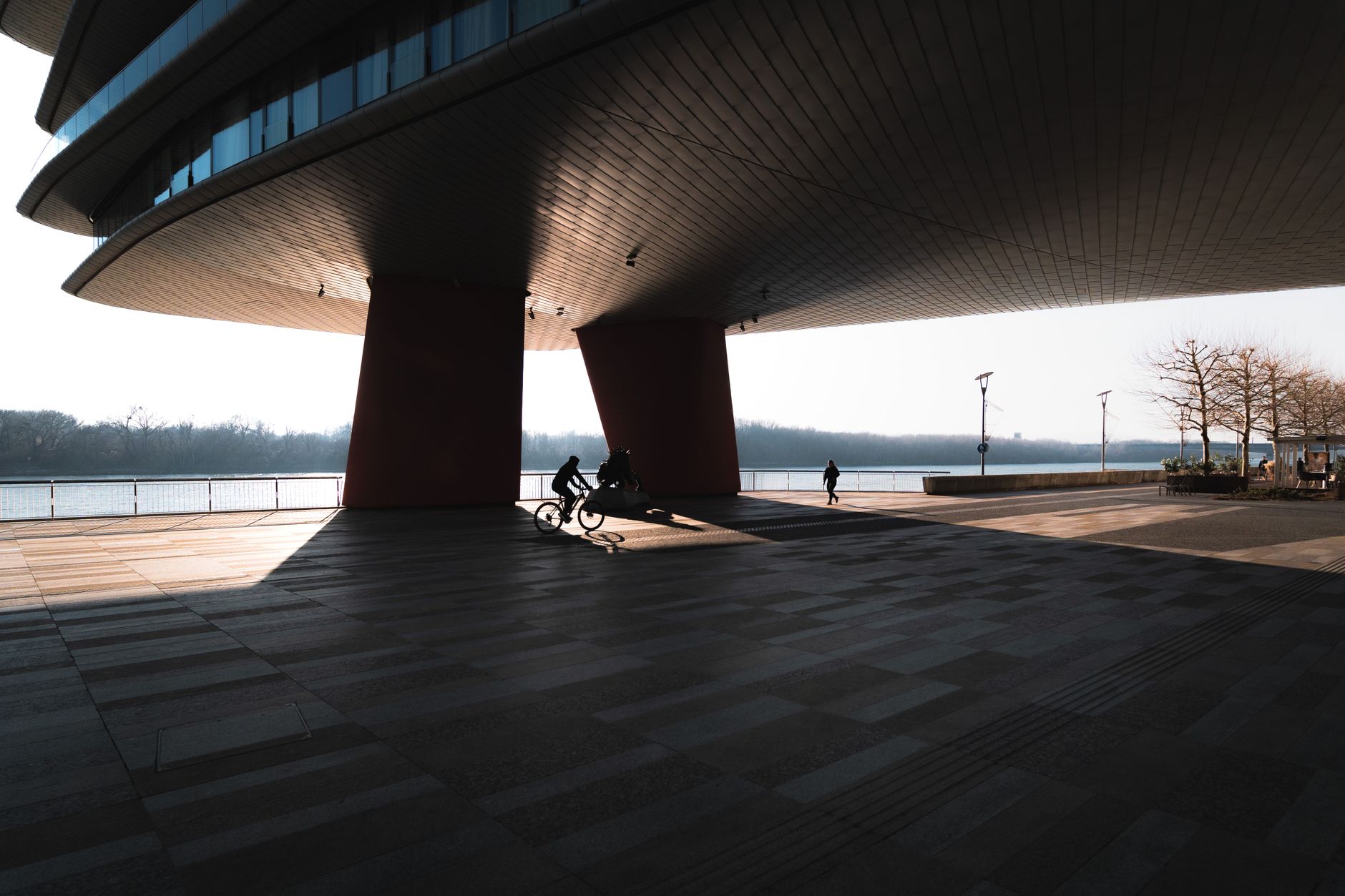

Pittsburgh's Three Rivers Heritage Trail is one of the most remarkable pieces of public infrastructure the city has built in the past 30 years. Running along all three rivers, the trail connects Point State Park to neighborhoods on the North Shore, South Side, and beyond, forming a loop that stretches more than 30 miles when its connecting spurs are included. For walkers, runners, and cyclists who know where to go, it functions as a backyard that most American cities don't have. For those who don't, it can feel like a fragmented puzzle.
How the trail system is actually organized
The Heritage Trail isn't a single continuous path with a consistent surface and signage. It's a network of connected segments maintained by a mix of agencies, including Pittsburgh Regional Transit, the Pittsburgh Parks Conservancy, and the nonprofit Trails for PA. Three main corridors do most of the work: the Allegheny River Trail on the north bank, the Mon Wharf Trail on the south bank of the Monongahela, and the Great Allegheny Passage, which departs southeast from the Hot Metal Bridge. The North Shore Riverfront Park stitches together PNC Park and Acrisure Stadium along the Allegheny's north bank, giving walkers one of the most dramatic urban waterfront stretches in the region.
Each segment has a different character. The Monongahela stretch from the Smithfield Street Bridge to the Hot Metal Bridge runs through the South Side, passing under the Birmingham Bridge and hugging industrial infrastructure repurposed for public access. It's flat and direct, with sightlines that open toward Mount Washington's cliffs. The Allegheny corridor from the 16th Street Bridge east toward Millvale is rockier, quieter, and lined with vegetation that fills in heavily through summer.
What you'll actually encounter on each bank
The north bank of the Allegheny runs from the Waterworks area in Fox Chapel west through Millvale, past the North Shore stadiums, and connects to the Ohio River Trail heading toward the airport corridor. On a clear weekday morning, this stretch sees a mix of commuter cyclists, dog walkers, and people fishing below the Allegheny's riffles. The path surface shifts from paved asphalt to packed limestone gravel depending on where you are, so road bikes with narrow tires aren't always ideal.
The south bank of the Monongahela is the trail's most urban stretch. The Mon Wharf section directly beneath Grant Street is paved and maintained well, but it closes during high-water events, which happen more often than the city's tourism materials acknowledge. A 2024 study by the Army Corps of Engineers estimated the Mon Wharf floods at least 8 times per year on average, forcing trail users onto surface streets.
Pittsburgh's broader riverfront trail gap problem is real. As covered in the missing mile between the North Shore and Millvale, there's a stubborn break in the Allegheny corridor that forces riders onto the Millvale Riverfront, a section that isn't yet fully connected. Work to close that gap has been in planning for years, with funding still being assembled as of 2026.
Connecting to the Great Allegheny Passage
The Heritage Trail's most significant connection point is the Great Allegheny Passage, which departs from the Hot Metal Bridge in South Side and runs 150 miles southeast to Cumberland, Maryland. At Cumberland it meets the C&O Canal Towpath, giving committed cyclists a car-free route all the way to Washington, D.C. That connection turns Pittsburgh's local waterfront loop into something genuinely extraordinary: a continental trail link that starts at a city park bench and ends at the nation's capital. Very few cities can claim that.
For casual users, the first 5 miles of the GAP from the Hot Metal Bridge to Boston are an easy afternoon ride. The trail is paved, clearly marked, and passes through Hazelwood before crossing into more open terrain. The Hazelwood Green redevelopment site sits directly adjacent to the trail here, meaning the industrial bones of the Monongahela shore are being rewritten in real time right alongside the path.
Parking and access points worth knowing
Getting onto the trail without a car involves Pittsburgh Regional Transit more than most trail guides admit. The 54C and P10 buses serve South Side access points. For the North Shore, the T light rail stops at North Side Station, putting you within a 4-minute walk of the riverfront path. Parking, where it exists, concentrates at three reliable spots: the Sandcastle Waterpark lot on the Mon's south bank (free on non-event days), the North Shore lots near PNC Park (paid, but nearly empty on weekdays), and the trailhead at Washington's Landing on the Allegheny, which has a small free lot and fills by 9 a.m. on summer weekends.
Restrooms are sparse. The Port Authority's policy means facilities don't follow the trail, so plan around Point State Park (reliable, staffed seasonally), the North Shore promenade (portable facilities near the stadiums), and the trailhead at Millvale (portable, hit or miss on cleanliness).
Where the trail still falls short
The biggest friction points are well documented and worth naming directly. The section crossing from the North Shore to the South Side requires a detour over either the Smithfield Street Bridge or the Warhol Bridge, both of which have narrow, shared sidewalks. Neither is comfortable for a cyclist moving at speed. The Ohio River Trail west of the Point is incomplete beyond Carnegie, cutting off what should eventually be a continuous western extension. And signage along the entire system is inconsistent: adequate in high-use zones near the stadiums and Point State Park, but thin or nonexistent in quieter sections like the Allegheny stretch between 40th Street and Millvale.
None of this diminishes what the trail delivers on its best days. A loop from the South Side Flats to the North Shore, across the Clemente Bridge, and back down through the Strip District packs more urban scenery into 6 miles than you'd get in almost any other American city. Pittsburgh built this infrastructure over decades, often project by project, grant by grant. The seams show. So does the ambition.